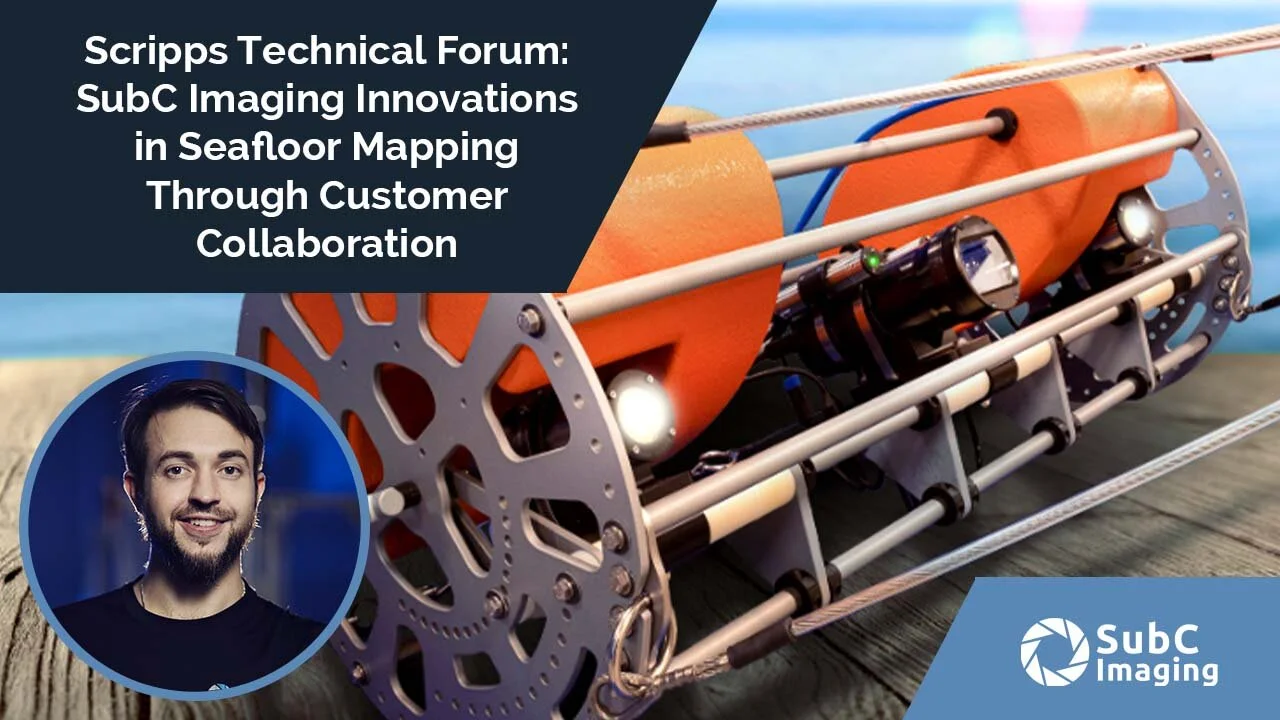
Innovations in Seafloor Mapping Through Customer Collaboration: A Tow Camera System Case Study
In this webinar from Scripps Institute of Oceanography, SubC Imaging Founder & CEO Chad Collett will discuss how collaboration with the Fisheries and Marine Institute and the Government of Canada’s Department of Fisheries and Oceans (DFO) led to SubC’s newest innovation for mapping and imaging the seafloor: the Tow Camera System.
您將學到:
How regular customer feedback drives advances in subsea imaging technology
The ‘why’ behind the Tow Camera System and how understanding the challenges of coastal marine surveys and seafloor mapping formed product design
The underwater tow camera innovations developed through collaboration
Approaches to field-testing and proving the Tow Camera System
Benefits of the Tow Camera System beyond Fisheries Research

